Sugar Cove Trail
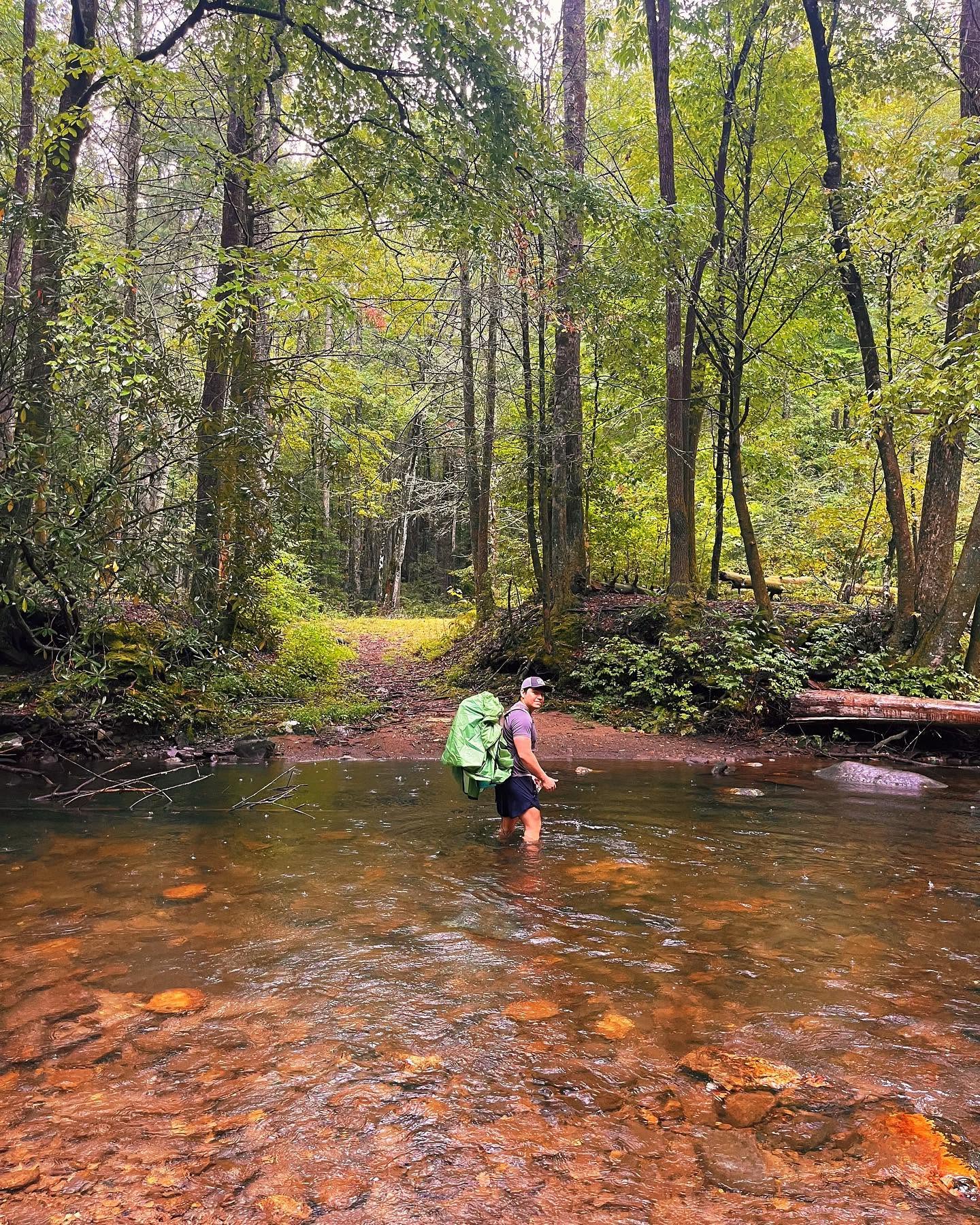
A short, currently closed connector between Rough Ridge Trail and the Jacks River, through a sugar maple cove.
- Distance
- 2.2 mi one way
- Elevation gain
- Not recorded
- Trail type
- Point to Point
- Difficulty
- Moderate to Strenuous
- Crossings
- No crossings recorded
- Best season
- Spring through fall.
Wilderness status
Inside Cohutta Wilderness
Bicycles
Bicycles are prohibited on this trail. Mechanized transport, including mountain bikes, is banned in designated wilderness under federal law by the Wilderness Act of 1964. This is enforced by the Forest Service. Do not ride here.
The trail
Sugar Cove Trail runs about two and a fifth miles from the end of Rough Ridge Trail down to a junction with Jacks River Trail, dropping through a hardwood cove thick with sugar maple. It was never a destination on its own, more a connecting piece in bigger loops built around East Cowpen, Rough Ridge, and the Jacks River.
The trail is currently closed and unmaintained, with washouts that have erased parts of the route in places. Some hikers still travel it, but the Forest Service does not maintain it and it is not a reliable route to count on. Confirm current status with the Conasauga Ranger District before attempting it.
Marquee feature
A closed connector through a sugar maple cove
Getting there
Forest Service roads to the Cohutta trailheads are gravel, seasonally gated, and often without cell service. Download directions before you leave pavement.
Access roads and winter closures
Open trailhead in Google Maps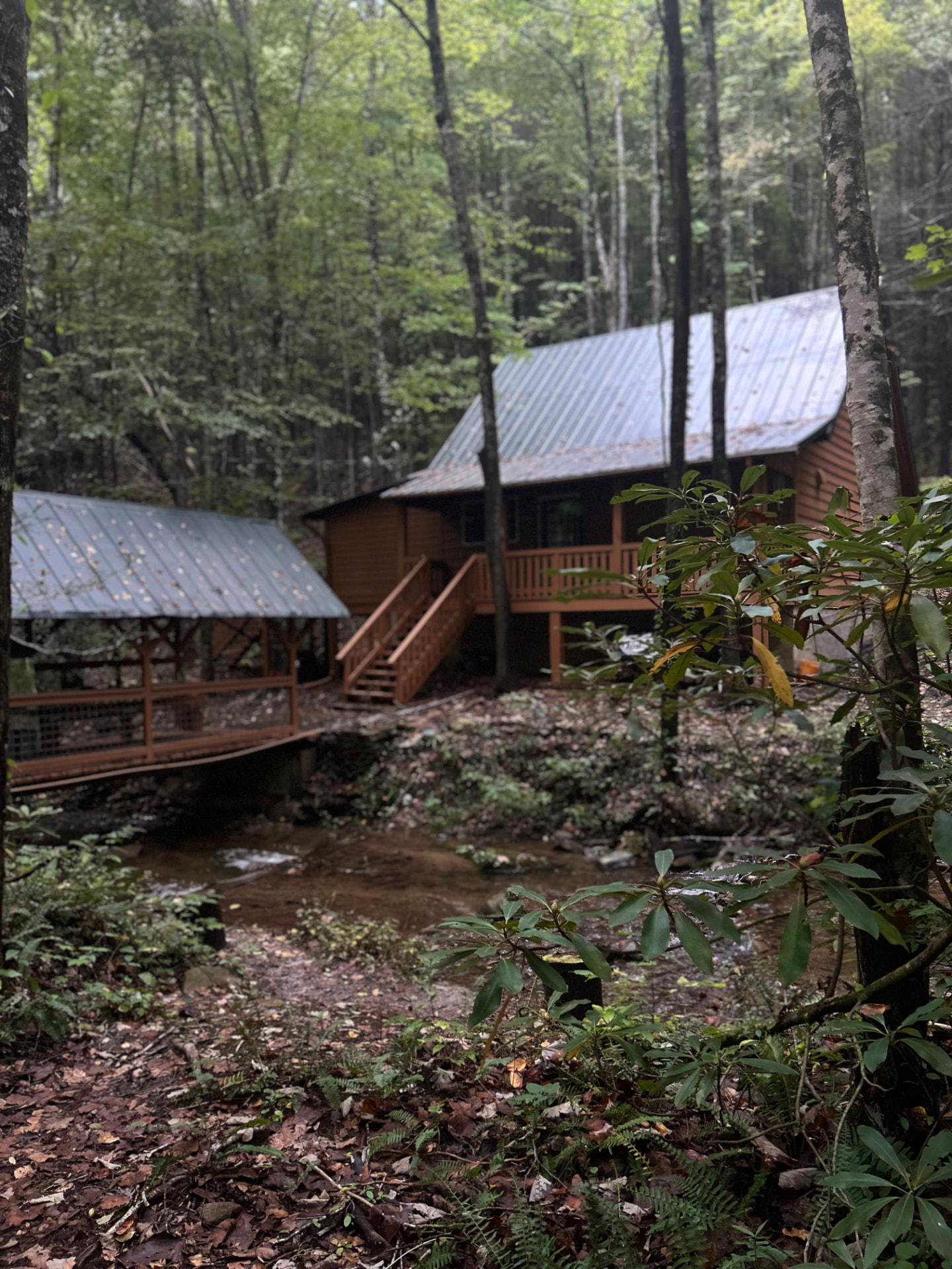
Stay near the trailheads
Sherpa Camp — a cabin at the edge of the wilderness.
The drive in from Atlanta or Chattanooga is long enough that most people are better off sleeping near the gate than starting at 4 a.m. Sherpa Camp is a small cabin on Holly Creek, on the western edge of the Cohutta Wilderness, about 25 minutes from Ellijay. It sleeps five, with a covered porch, a firepit, and a creek. Cell service ends before you get there.
See Sherpa Camp