Before you go
Resources
This is a field guide, not the land manager. Conditions on the ground change and the Forest Service knows first. Check these before a trip, especially anything involving a river crossing or a trailhead that gates seasonally.
U.S. Forest Service
Cohutta Wilderness TrailheadsThe official trailhead access page. Permit requirements, seasonal gate closures, and camping rules for the wilderness perimeter.
Chattahoochee-Oconee National Forest
Alerts & NoticesCurrent trail and road closures, storm damage, and other conditions. Check this before every trip.
U.S. Forest Service
Conasauga Ranger DistrictThe district office that manages the Cohutta Wilderness. Call (706) 695-6736 for anything not answered online.
Chattahoochee-Oconee National Forest
Maps & GuidesOfficial forest maps, including the Cohutta Wilderness map.
Georgia Department of Natural Resources
Cohutta Wildlife Management AreaHunting seasons overlap the wilderness trail system in fall. Check current dates before you hike.
Community group
Cohutta Wilderness Trail VolunteersVolunteer trail maintenance days in the Cohuttas. Also active on Facebook.
Facebook group →
How the mileage works
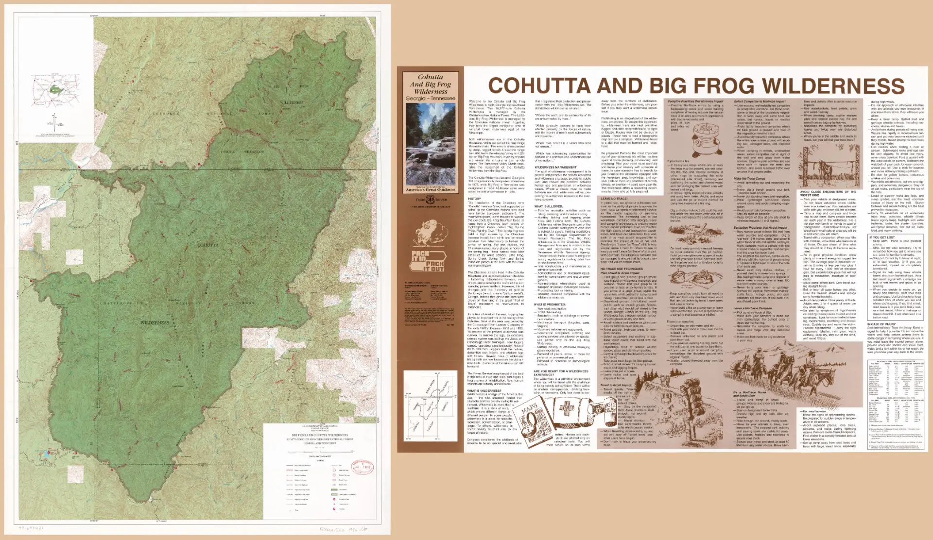
Mileages on this site come from several sources, and they do not always agree. The Forest Service map of the Cohutta and Big Frog Wilderness was measured with a wheel and is the most reliable figure for most trails. It counts only miles inside the designated wilderness, though, so a trail that starts outside the boundary reads short. Hickory Creek is the clearest case: 8.6 miles on the map, closer to 9.7 on the ground. Phone GPS apps drift badly far from cell towers and tend to overstate distance. The Forest Service map also draws Rough Ridge Trail well east of where it runs, and the CalTopo 3D map omits most of the river crossings. Each trail page says whether its distance is one way, round trip, or a loop.
CalTopo 3D mapTrail volunteers
Since 1990 the Conasauga District Trail Volunteers, known as Team Conasauga, have worked with the Forest Service to keep the Cohutta trails open. The Forest Service schedules a volunteer workday one Saturday a month. Many of the trails on this site are passable because of them.