Benton Mackaye Trail 10A Bushyhead Mountain To Dally Gap
Nearly twenty miles across the divide from Bushyhead to Dally Gap.
 Thumbnail
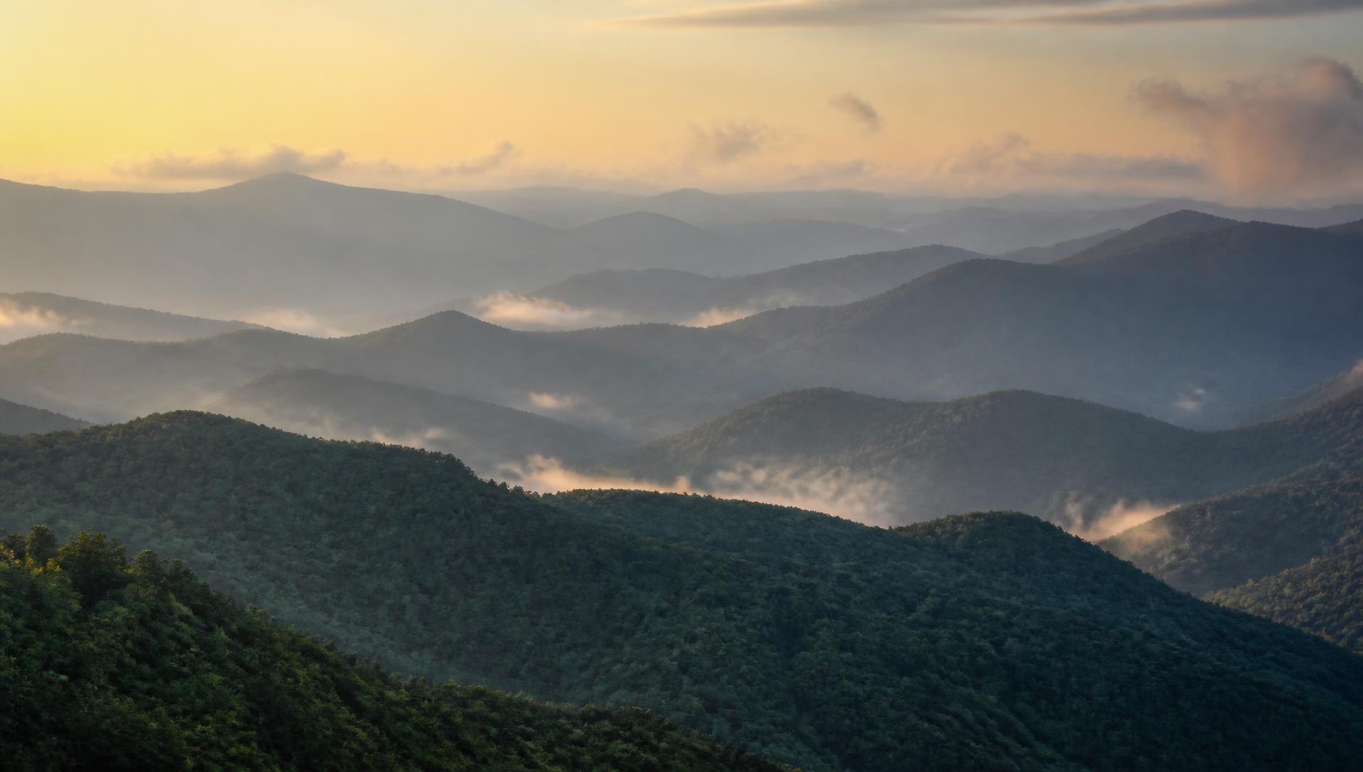
This is a reference photo, not this trail. Have a photo of it? Post it in the Cohutta Wilderness Facebook group and it may end up here.
- Distance
- 19.7 mi one way
- Elevation gain
- 3,688 ft
- Trail type
- Point to Point
- Difficulty
- Strenuous
- Crossings
- No crossings recorded
- Best season
- Spring through fall.
Wilderness status
Outside the wilderness
Bicycles
Bicycles are prohibited on this trail. Mechanized transport, including mountain bikes, is banned in designated wilderness under federal law by the Wilderness Act of 1964. This is enforced by the Forest Service. Do not ride here.
The trail
Nineteen and seven tenths miles with thirty seven hundred feet of gain, running west from Bushyhead Mountain to Dally Gap along the divide. This is a long day or a comfortable overnight and it is how the Benton MacKaye approaches the Cohuttas from the east.
The trail is well maintained by the Benton MacKaye Trail Association and better blazed than most of what is in the wilderness proper. Point to point, so plan the car.
Marquee feature
Long approach section on the Benton MacKaye
Getting there
Forest Service roads to the Cohutta trailheads are gravel, seasonally gated, and often without cell service. Download directions before you leave pavement.
Access roads and winter closures
Open trailhead in Google Maps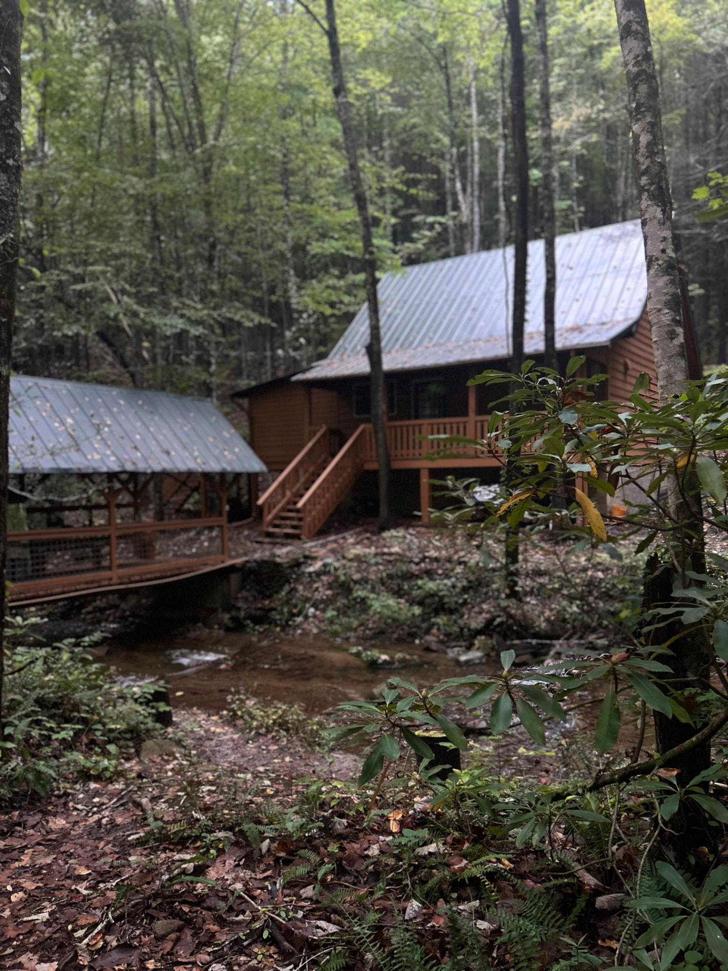
Stay near the trailheads
Sherpa Camp — a cabin at the edge of the wilderness.
The drive in from Atlanta or Chattanooga is long enough that most people are better off sleeping near the gate than starting at 4 a.m. Sherpa Camp is a small cabin on Holly Creek, on the western edge of the Cohutta Wilderness, about 25 minutes from Ellijay. It sleeps five, with a covered porch, a firepit, and a creek. Cell service ends before you get there.
See Sherpa Camp