Pinhoti Section 29 Cohutta Overlook to Forest Service Road 90
Nine and a half miles from Cohutta Overlook over Turkey Mountain to Holly Creek Gap.
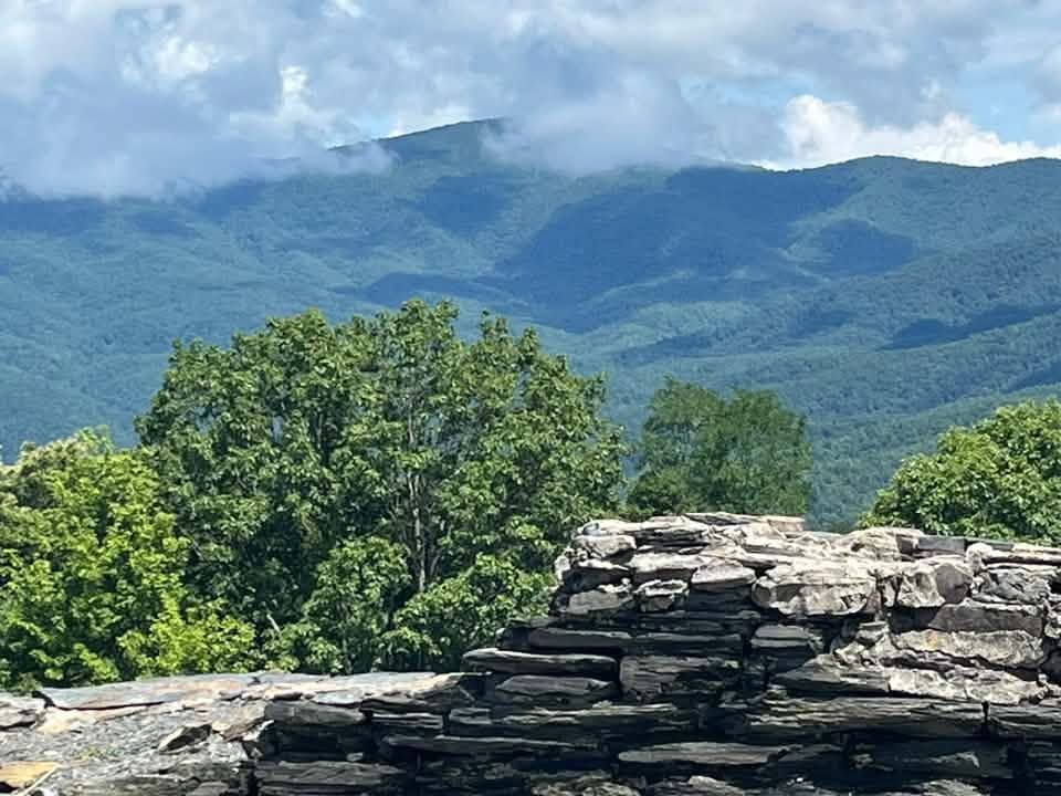
Photo by Robert Sinclair
- Distance
- 9.6 mi one way
- Elevation gain
- 1,262 ft
- Trail type
- Point to Point
- Difficulty
- Moderate
- Crossings
- No crossings recorded
- Best season
- Year round.
Wilderness status
Outside the wilderness
Bicycles
Bicycles are permitted. This trail lies outside the designated wilderness boundary. Yield to hikers and expect two-way traffic on blind corners.
The trail
Section 29 picks up near Cohutta Overlook and runs nine and a half miles to Forest Service Road 90 at Holly Creek Gap, climbing over Turkey Mountain by way of a run of switchbacks that gives good winter views back toward the Cohuttas. A stretch of the ridge gets bypassed to avoid private property, which accounts for some elevation change that otherwise would not be there.
The trail drops to Mulberry Gap, crosses the road near Mulberry Gap Adventure Base Camp, and climbs back into the forest toward Holly Creek Gap. Expect some bike traffic through here along with the usual hikers and backpackers. Spring brings out the wildflowers, earthstar, nodding trillium, wild geranium, and mountain laurel, along the lower stretches.
Marquee feature
Cohutta Overlook and the climb over Turkey Mountain
Getting there
Forest Service roads to the Cohutta trailheads are gravel, seasonally gated, and often without cell service. Download directions before you leave pavement.
Access roads and winter closures
Open trailhead in Google Maps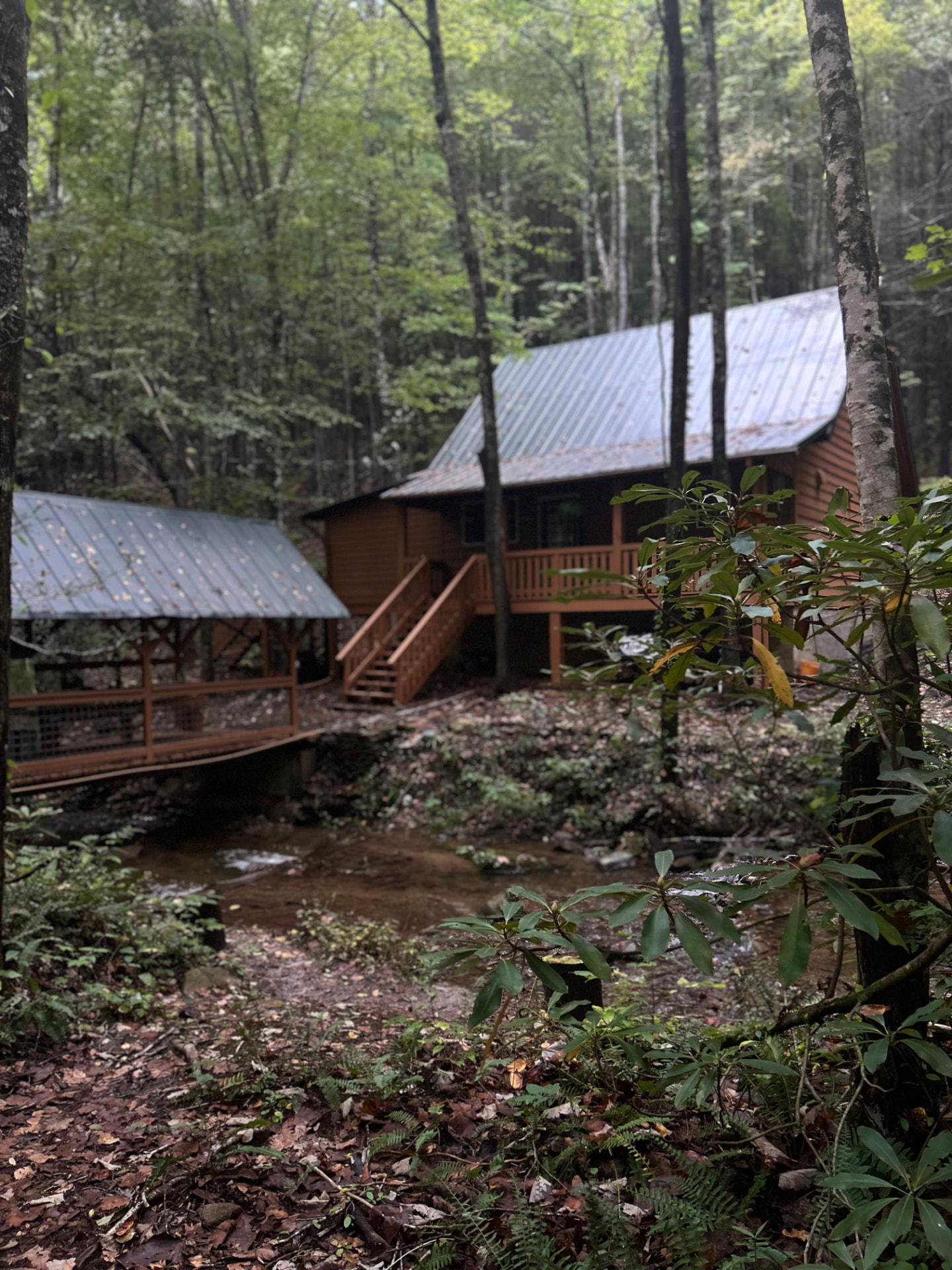
Stay near the trailheads
Sherpa Camp — a cabin at the edge of the wilderness.
The drive in from Atlanta or Chattanooga is long enough that most people are better off sleeping near the gate than starting at 4 a.m. Sherpa Camp is a small cabin on Holly Creek, on the western edge of the Cohutta Wilderness, about 25 minutes from Ellijay. It sleeps five, with a covered porch, a firepit, and a creek. Cell service ends before you get there.
See Sherpa Camp