Pinhoti Section 28 Ramhurst to Cohutta Overlook
Eighteen miles from the valley floor at Ramhurst up to the Cohutta Overlook.
- Distance
- 18.2 mi one way
- Elevation gain
- 3,215 ft
- Trail type
- Point to Point
- Difficulty
- Strenuous
- Crossings
- No crossings recorded
- Best season
- Fall through spring. Hot and exposed in summer.
Wilderness status
Outside the wilderness
Bicycles
Bicycles are permitted. This trail lies outside the designated wilderness boundary. Yield to hikers and expect two-way traffic on blind corners.
The trail
Section twenty eight is the Pinhoti climbing out of the valley near Ramhurst and into the Cohutta high country, eighteen and two tenths miles of it. This is the western approach and it starts low, which means the early miles run hot in summer and pleasant in November. The route follows road corridors at first, Highway 76, Old Federal Road, and Dennis Mill Road, before finally leaving pavement for National Forest land with campsites and a crossing of Bakers Branch.
Thru hikers on the Pinhoti use this as the transition from ridge and valley country into real mountains. It's a section built for backpackers rather than day hikers, with a long stretch in the middle where camping is not permitted, so plan the water and the miles accordingly.
Marquee feature
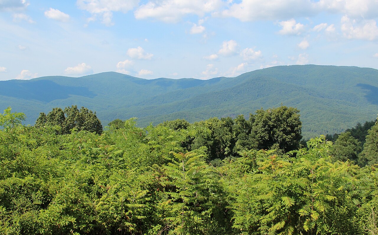
The Pinhoti entering the Cohutta high country
Getting there
Forest Service roads to the Cohutta trailheads are gravel, seasonally gated, and often without cell service. Download directions before you leave pavement.
Access roads and winter closures
Open trailhead in Google Maps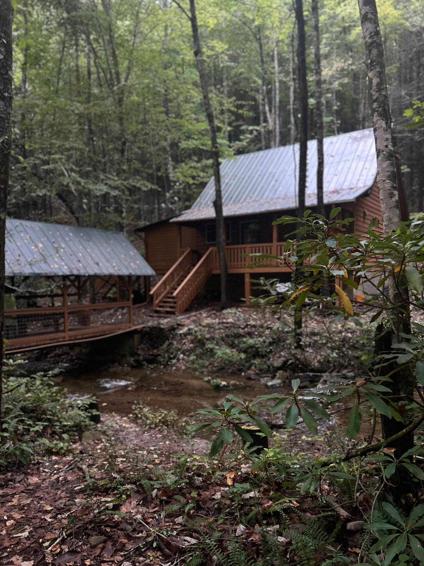
Stay near the trailheads
Sherpa Camp — a cabin at the edge of the wilderness.
The drive in from Atlanta or Chattanooga is long enough that most people are better off sleeping near the gate than starting at 4 a.m. Sherpa Camp is a small cabin on Holly Creek, on the western edge of the Cohutta Wilderness, about 25 minutes from Ellijay. It sleeps five, with a covered porch, a firepit, and a creek. Cell service ends before you get there.
See Sherpa Camp