Panther Creek Falls
A tall falls in the middle of the wilderness, with no road anywhere near it.
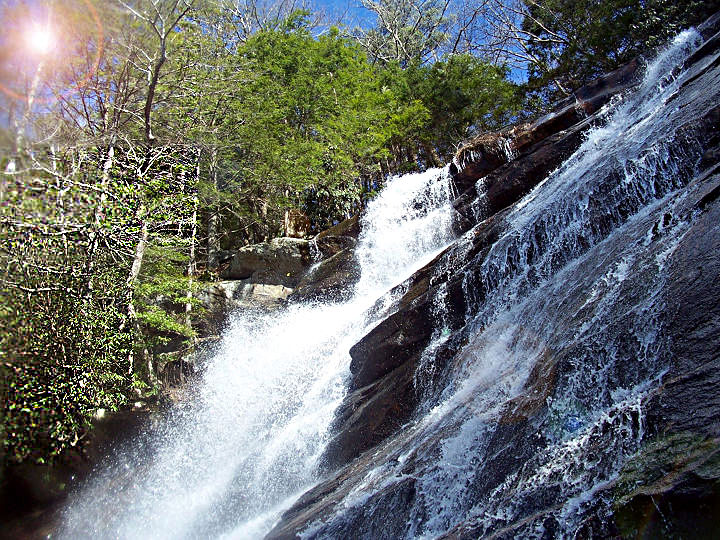
At a glance
- Location
- Panther Creek, Conasauga River side of the Cohutta Wilderness
- Height
- 70 to 80 feet
- Trail
- Panther Creek Trail, 3.4 miles one way
- Crossings
- 8 on Panther Creek, 6 below the falls and 2 above
- Elevation
- About 3,770 feet at East Cowpen down to about 1,920 feet at the Conasauga
Panther Creek Falls sits in the interior of the Cohutta Wilderness, on a creek that drops off Cohutta Mountain toward the Conasauga River. The water begins as a short free fall and finishes as a long slide over rock, seventy to eighty feet in all. After a hard rain the modest creek turns white across the whole face.
There is no trailhead for it. Panther Creek Trail runs between two other trails, so every visit starts somewhere else and walks in.
Ways in
- Listed distance
- 13.2 mi round trip
- Crossings
- No crossings recorded
- Difficulty
- Strenuous
From the top. East Cowpen runs the ridge to the Panther Creek junction, then Panther Creek Trail drops toward the falls. The Three Forks trailhead road closes in winter.
- Listed distance
- 3.4 mi one way
- Crossings
- 8 crossings
- Difficulty
- Strenuous
The trail itself, 3.4 miles one way between East Cowpen and the Conasauga River Trail, with the falls partway down.
- Listed distance
- 13.1 mi one way
- Crossings
- 38 crossings
- Difficulty
- Strenuous
From the bottom. Walk the Conasauga River Trail to the Panther Creek junction and climb. The river crossings come first.
- Listed distance
- 9.7 mi one way
- Crossings
- No crossings recorded
- Difficulty
- Strenuous
From the west. Hickory Creek reaches the Conasauga, and many walkers link it with the river trail, Panther Creek, and East Cowpen into one long loop.
What you walk through
The lower stretch of Panther Creek Trail follows an old logging railroad grade, and blast lines still show in a rock outcrop near the first crossing. Past the crossings, a boulder scramble climbs beside the falls. That boulder field was too steep to log, and it holds one of the few old growth pockets left on this side of the range. There is no real tread through it, only a route between the rocks that stays close to the creek.
Above the falls
The trail is faint above the falls and easy to lose. Find it before you commit to the climb toward East Cowpen, where the grade eases into a long, quiet walk to the ridge.
Water
Panther Creek crosses the trail eight times, and the approaches from below add the Conasauga's crossings on top of those. Rain makes the falls worth seeing and the crossings worth respecting.
Questions
How tall is Panther Creek Falls in the Cohutta Wilderness?
About 70 to 80 feet, a short free fall above a long slide.
How long is the hike to Panther Creek Falls?
Panther Creek Trail is 3.4 miles one way, but it starts and ends at other trails, so the full hike depends on your approach. Coming down from East Cowpen avoids the Conasauga crossings.
Is this the same Panther Creek Falls as the one near Clarkesville?
No. That falls is in Habersham County. This one is in the Cohutta Wilderness in northwest Georgia.
Related
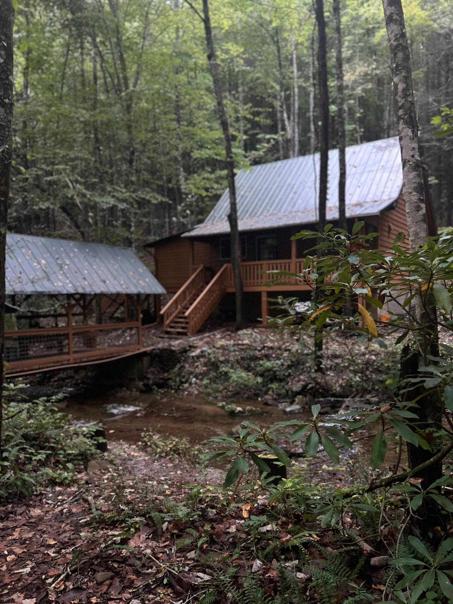
Stay near the trailheads
Sherpa Camp — a cabin at the edge of the wilderness.
The drive in from Atlanta or Chattanooga is long enough that most people are better off sleeping near the gate than starting at 4 a.m. Sherpa Camp is a small cabin on Holly Creek, on the western edge of the Cohutta Wilderness, about 25 minutes from Ellijay. It sleeps five, with a covered porch, a firepit, and a creek. Cell service ends before you get there.
See Sherpa Camp