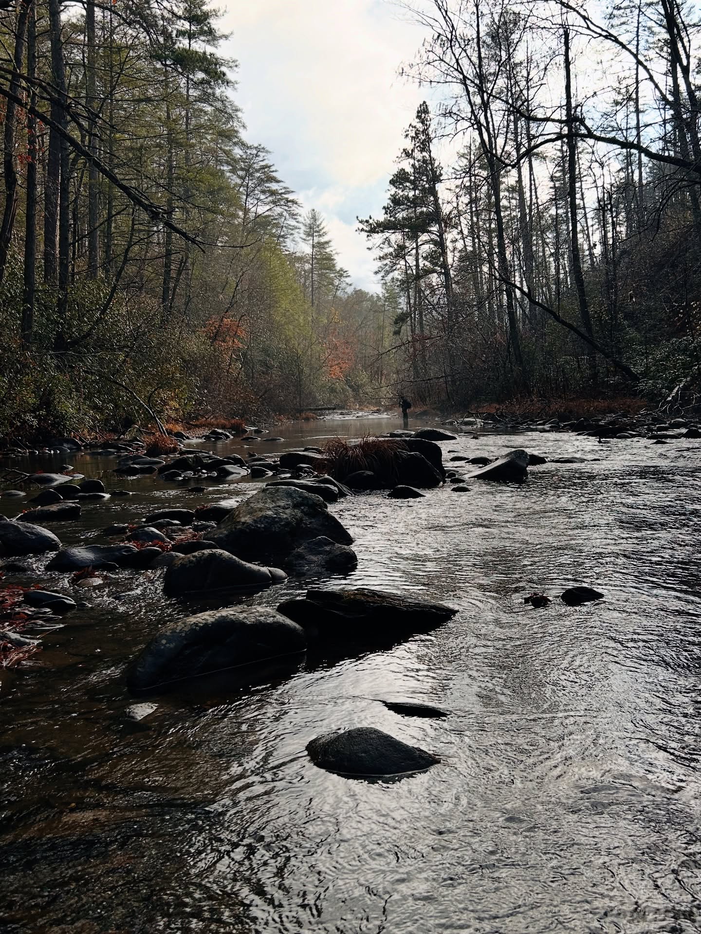
Most of the hardest trails in this guide are hard because of water, not elevation. The Jacks River Trail crosses twenty two times in its lower half. The Conasauga River Trail out of Betty Gap crosses thirty eight times in thirteen miles. Neither route has bridges, by design. This is designated wilderness, and the Wilderness Act does not allow permanent structures across the water.
The rivers here rise fast. These are steep watersheds, and heavy rain well upstream and out of sight can raise the Conasauga or the Jacks River before the sky over your trailhead has even clouded over. A crossing that reads as knee deep in August can be dangerous by the next morning.
There is no dedicated public gauge on the Conasauga or the Jacks River inside the wilderness, but paddlers who run these watersheds at high water use the USGS gauge on Holly Creek near Chatsworth as a rough proxy, along with the Mill Creek gauge near Crandall. None of this is a substitute for looking at the water yourself. If it is off-color, running fast, or higher than the rocks you remember, wait it out or turn back. If the current would knock you off your feet, or you cannot see the bottom, that is the line.
The safer approach is seasonal rather than technical. Summer and early fall, after the spring rains taper off and before winter storms return, is when most of the crossing-heavy trails in this guide are reasonable. Plan those trails for that window, watch the forecast for the days before your trip and not just the day of, and always have a turnaround point in mind before you start.