Mountaintown Creek Trail
A long creek walk on the east side with wild trout and about twenty crossings.
- Distance
- 11.4 mi round trip
- Elevation gain
- 1,505 ft
- Trail type
- Out & Back
- Difficulty
- Moderate to Strenuous
- Crossings
- About 20 crossings
- Best season
- Spring through fall.
Wilderness status
Outside the wilderness
Bicycles
Bicycles are permitted. This trail lies outside the designated wilderness boundary. Yield to hikers and expect two-way traffic on blind corners.
The trail
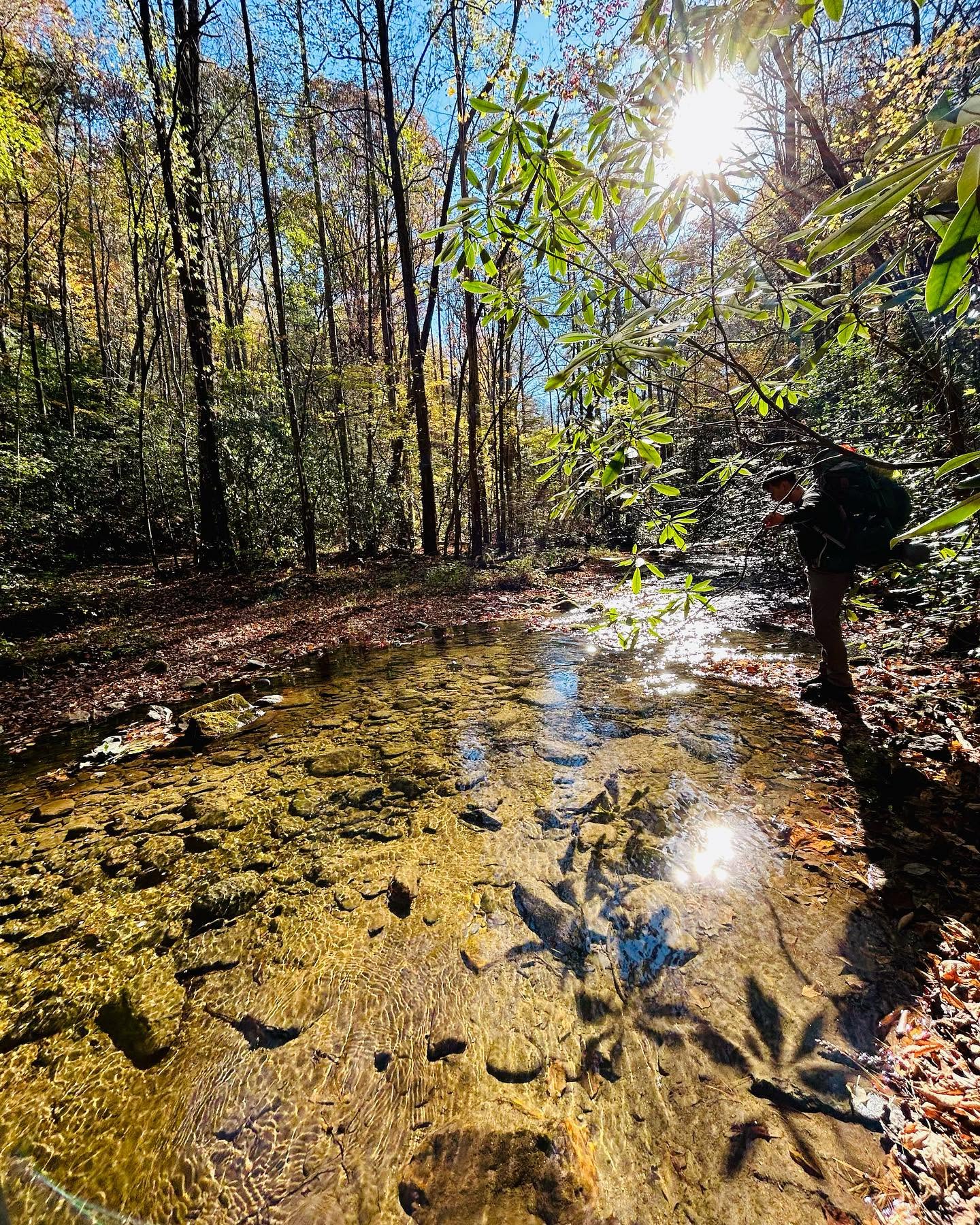
Mountaintown drains the east side of the range toward the Coosawattee, and the trail follows it through some of the better creek habitat in north Georgia. Wild trout hold here and the water stays cold well into summer under the canopy. The trail never strays more than about twenty feet from the creek and crosses it around twenty times, most of them manageable but a few that will get your feet wet regardless.
The upper end, reached by a steep forest road climb from Three Forks Road on FS 64, runs through quiet hardwood benches with a scattering of small waterfalls and cascades, plus some unusually large water bars built into the old roadbed to keep vehicles out. Around the two mile mark the trail narrows and steepens, rocky and tight enough that a slip drops you straight into the creek. Most of the corridor sits in the Pink Knob Inventoried Roadless Area, the largest such area in north Georgia, outside the designated wilderness, which is why this has become one of the state's known backcountry mountain bike descents. Past the Pinhoti Trail junction at 2.8 miles the grade eases, but the trail also sees less traffic and more downed timber and overgrowth this far in. The Pinhoti connector toward Bear Creek is closed to bikes, so that stretch has to be walked.
The lower end dead ends onto Triple Hill Road, which is private property. Access here has been restricted before, and if the No Trespassing signs are back up, the way out is either a mile of backtracking to the Pinhoti Trail toward Bear Creek, or the full climb back the way you came to FS 64. Check current access locally before you commit to riding through.
Marquee feature
Wild brook trout water and old growth pockets
Getting there
Forest Service roads to the Cohutta trailheads are gravel, seasonally gated, and often without cell service. Download directions before you leave pavement.
Access roads and winter closures
Open trailhead in Google Maps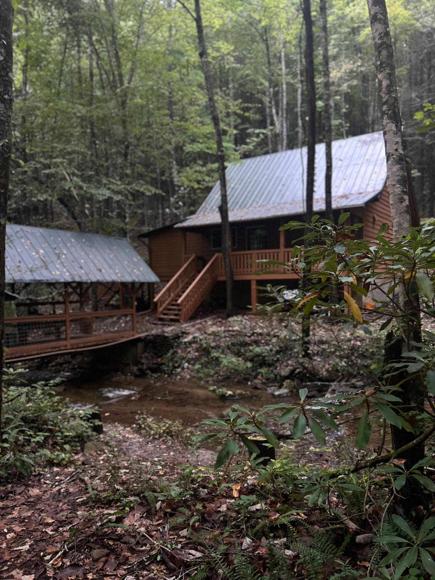
Stay near the trailheads
Sherpa Camp — a cabin at the edge of the wilderness.
The drive in from Atlanta or Chattanooga is long enough that most people are better off sleeping near the gate than starting at 4 a.m. Sherpa Camp is a small cabin on Holly Creek, on the western edge of the Cohutta Wilderness, about 25 minutes from Ellijay. It sleeps five, with a covered porch, a firepit, and a creek. Cell service ends before you get there.
See Sherpa Camp